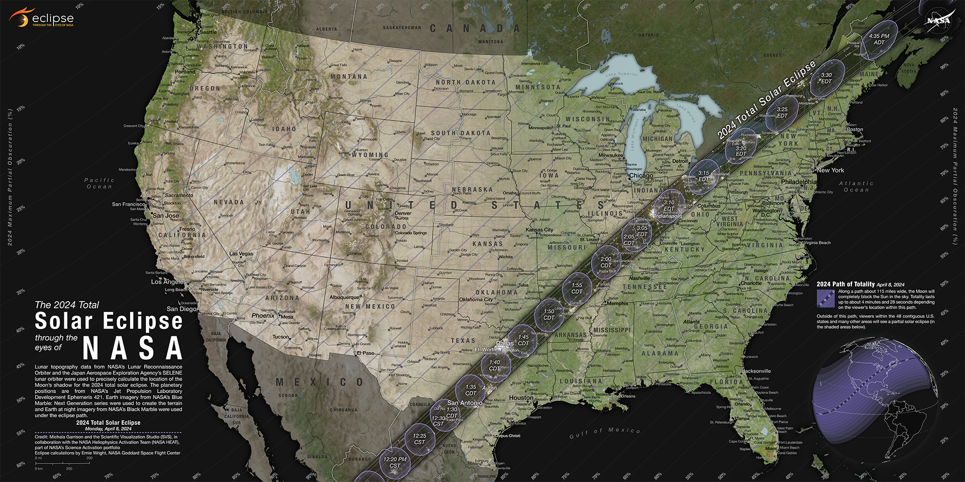

This interactive map shows photos of the total solar eclipse as it moves across the continental United States on August 21.
On August 21, parts of the United States are getting treated to a total solar eclipse — when the moon crosses between the Earth and the sun, and blocks out the sun's light. The full effect is only visible from a 70-mile-wide band of the country, stretching from Oregon to South Carolina.
Everyone else in the US is seeing some degree of a partial eclipse, weather permitting.
Business Insider made an interactive map that shows what the solar eclipse looks like in 14 cities across the US.
As the moon's shadow crosses the country, we will update this post throughout the day with images of the eclipse.
This interactive map shows photos of the total solar eclipse as it moves across the continental United States on August 21. Read Full Story


Facebook
Twitter
Pinterest
Instagram
Google+
YouTube
LinkedIn
RSS